Use the map for more information about this location and discover places nearby.
Address: Witteweg 24, 1797 RS Den Hoorn Texel, Netherlands | Coordinates: 53.0218098, 4.7281457 | Open in Google Maps
Total locations
480
Loading map..
Sites nearby
An overview of World War Two related sites nearby this location within a maximum radius of 150 kilometers.
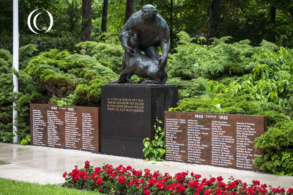
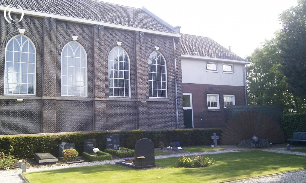
World War Two Memorial - Texel, the Netherlands

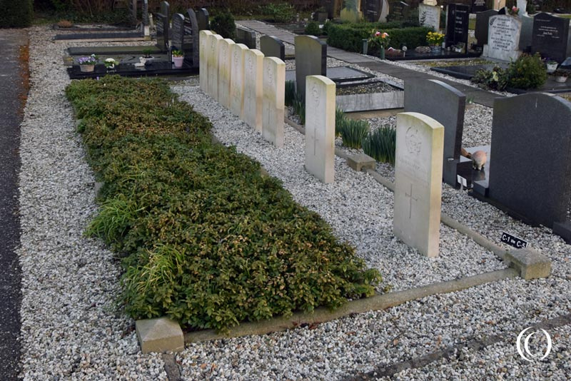
Texel Commonwealth War Cemetery - Den Burg, the Netherlands

Georgian War Cemetery Loladse - Texel, the Netherlands
The Last Battle of WW2 in Europe - the Georgian Uprising on Texel, the Netherlands
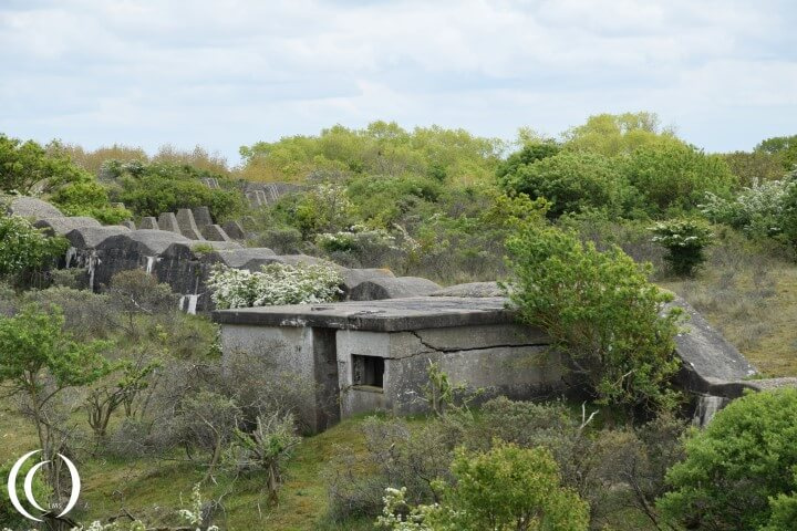
Stelling Den Oever - Afsluitdijk, the Netherlands
Stelling Kornwerderzand - Afsluitdijk, the Netherlands

Kazemattenmuseum Kornwerderzand - Afsluitdijk, the Netherlands

Fort Island IJmuiden - Guarding the water way to Amsterdam, the Netherlands

Schnellbootbunker 2, Widerstandsnest 77 - Festung IJmuiden, The Netherlands
Atlantic Wall - Seeziel Batterie Heerenduin W.N. 81 - IJmuiden, Netherlands

Widerstandsnest 82, Marine FLAK Batterie Olmen - Festung IJmuiden, The Netherlands
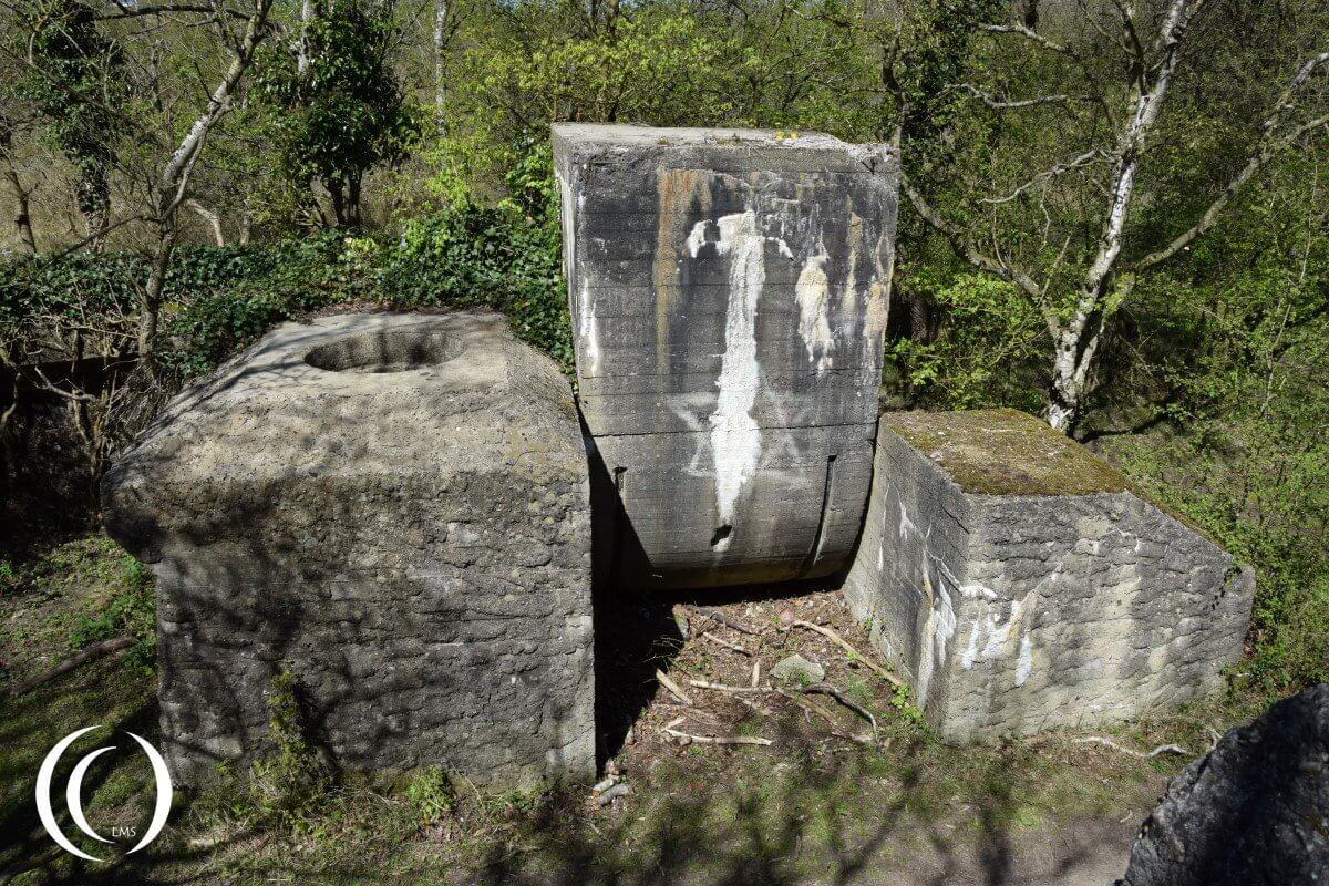
Marine FLAK Batterie Süd Ost, W.N. 92 with Walzkörpersperre, Festung IJmuiden - The Netherlands
Atlantic Wall, Stützpunkt gruppe Katwijk - the Netherlands

Victory Museum - Grootegast, Netherlands
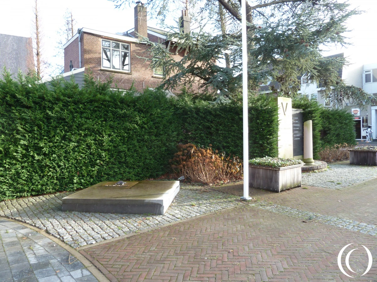
War Memorial for the Fallen Dutch Soldiers during May 1940 - Boskoop, The Netherlands

NMM - National Military Museum - Soesterberg Air Base Park, Netherlands
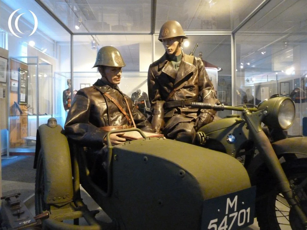
The Dutch Cavalry Museum - Amersfoort Netherlands

Memorial Garden of the Royal Netherlands Air Force - Soesterberg, the Netherlands

Memorial Square of the Royal Netherlands Air Force - Soesterberg, the Netherlands

Camp Amersfoort - The Netherlands

Russian War Cemetery Amersfoort - Leusden, The Netherlands
Lancaster Mk.1 W4960 in the Battle for the Ruhr - Sluipwijk, the Netherlands
Commonwealth War Graves, RAF 90 Sqdn - General Cemetery Montfoort, Utrecht, the Netherlands