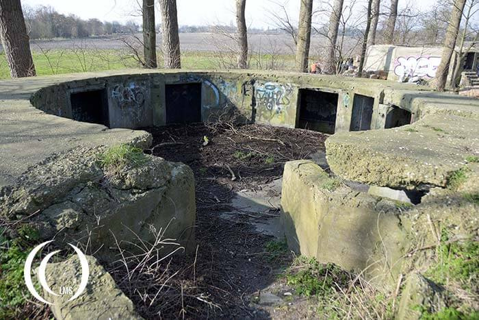
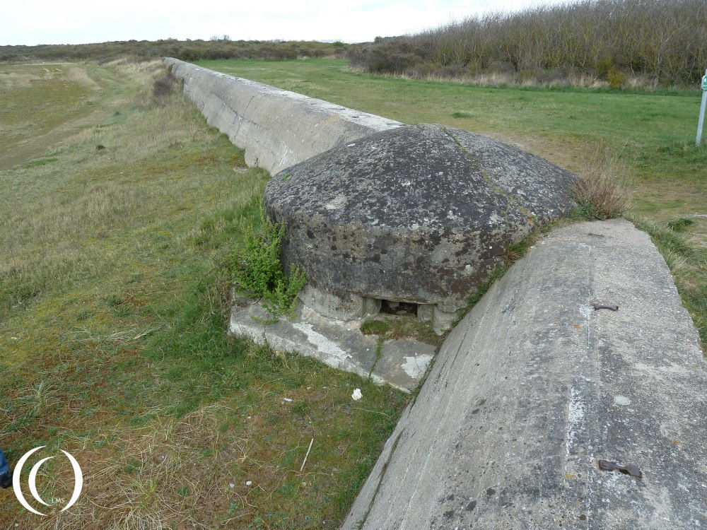
Use the map for more information about this location and discover places nearby.
Address: Duinenstraat 147, 8400 Oostende, Belgium | Coordinates: 51.2005434, 2.8473748 | Open in Google Maps
Total locations
484
Loading map..
Sites nearby
An overview of World War Two related sites nearby this location within a maximum radius of 150 kilometers.

Dunkirk WW2 – Operation Dynamo – Evacuation of the British Expeditionary Force BEF, 1940 - France

Military Cemetery Zuydcoote - Hauts-de-France, France
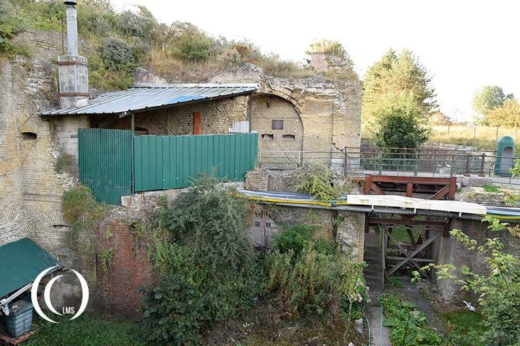
Fort des Dunes - Dunkirk France

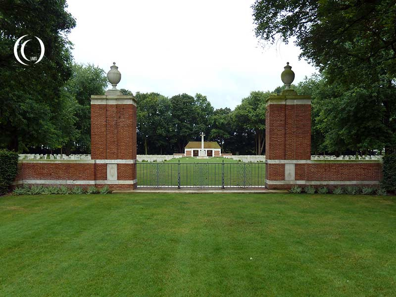
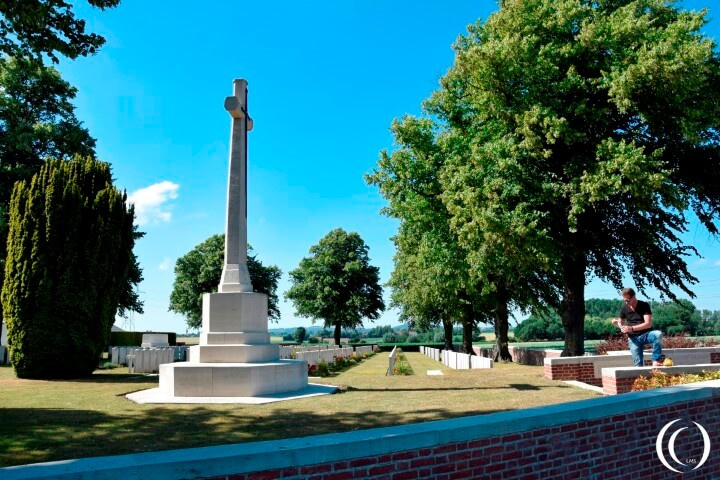
Commonwealth WW1 Cemetery Tyne Cot – Zonnebeke, Belgium

Dunkirk Town Cemetery & Dunkirk Memorial - Hauts-de-France, France
Military Fair: Wings and Wheels 2009 to 2014 - Ursel Airfield, Belgium
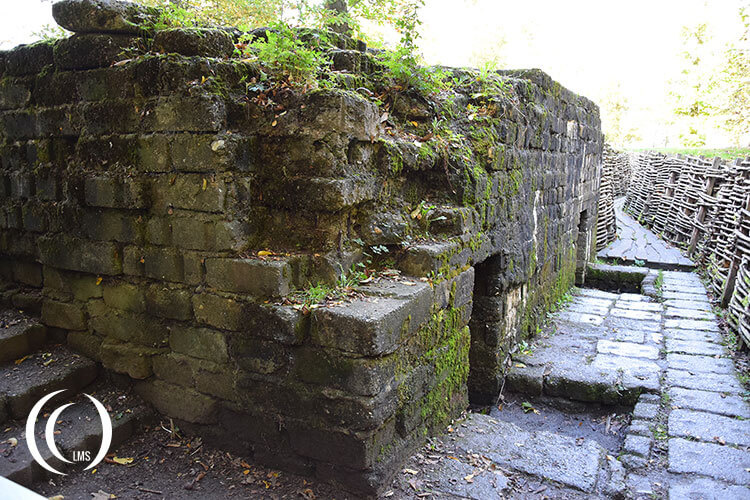
Bayernwald WWI Trenches - Wijtschate, Ypres Salient, Belgium
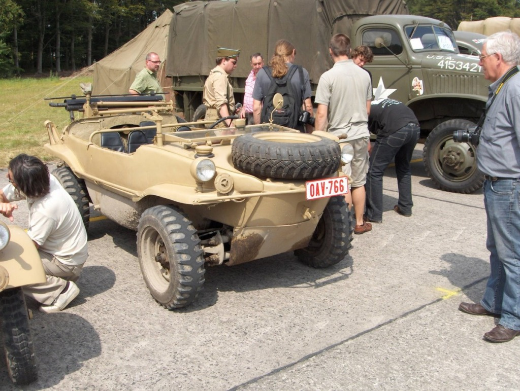
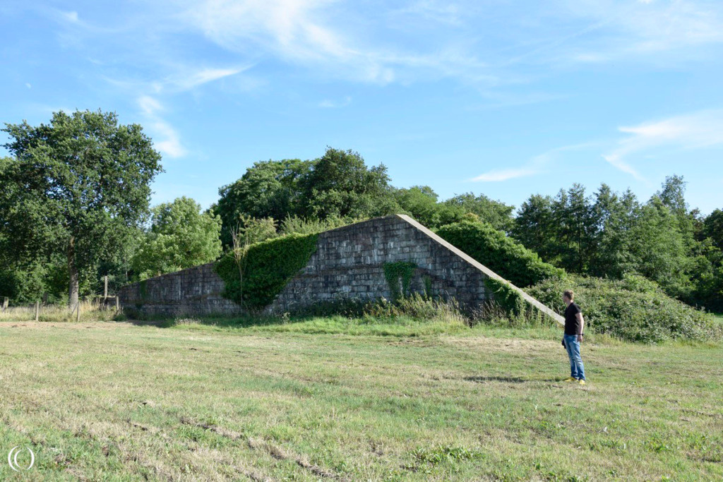
Operation Switchback - A Bailey-bridge left behind in Maldegem, St Laureins, Belgium

17pdr SP Achilles – British Tank Destroyer
Commonwealth War Graves: Canadian War Cemetery Adegem, Belgium
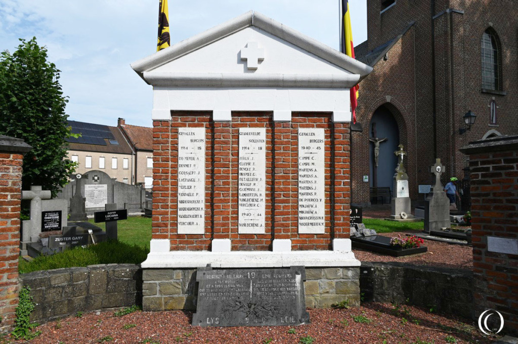
Monument to the fallen of Oeselgem during the Battle of the Lye - Oeselgem, Belgium
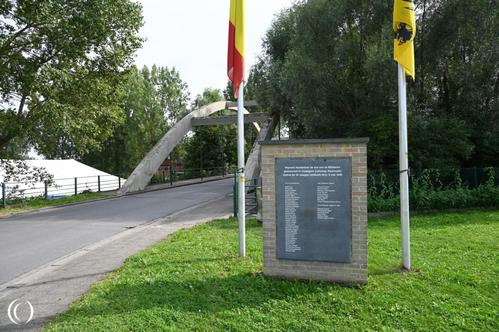
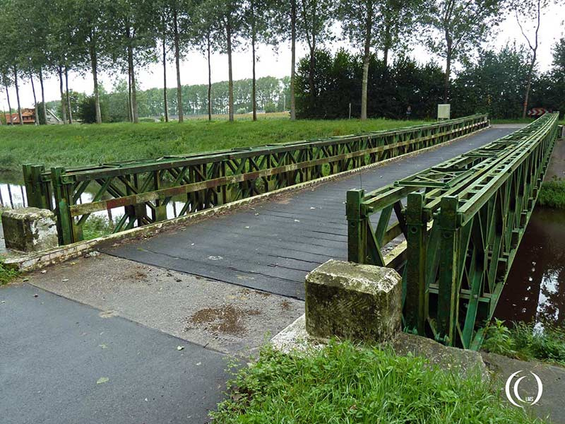
The Battle of the Lys, Four-Fronts Bridge – Oeselgem, Belgium
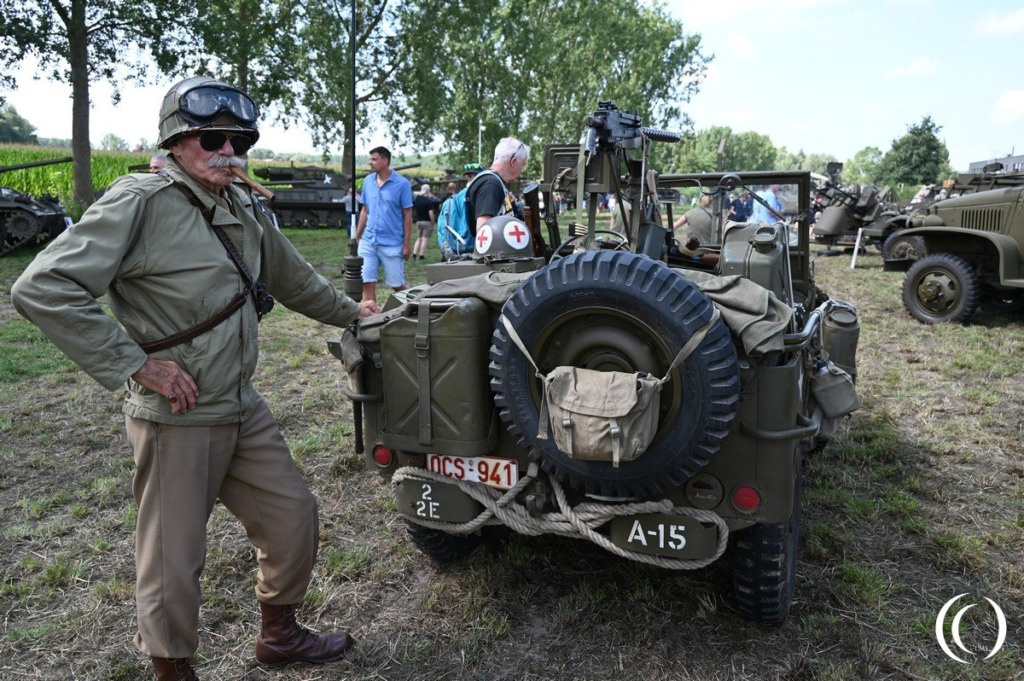
Tank Event Oeselgem, Four-Fronts Bridge – Oeselgem, Belgium
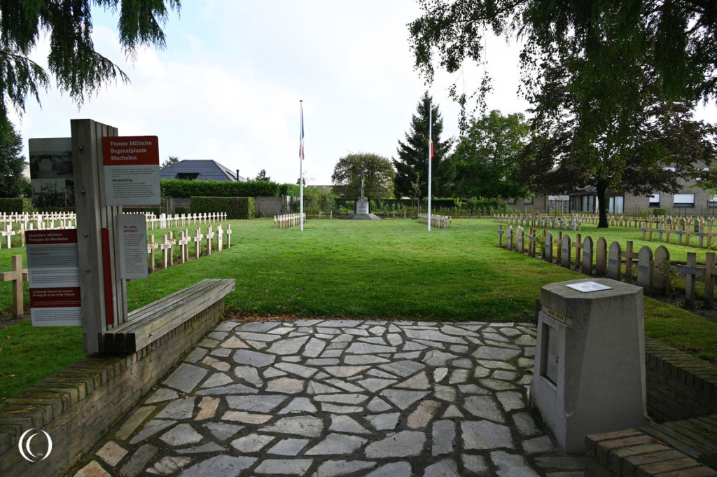
French WW1 War Cemetery Machelen, Belgium
La Kreule Military Cemetery - Hazebrouck France

Flanders Field, American WW1 Cemetery - Waregem, Belgium
Stützpunkt Von Kleist of VB Vlissingen - Koudekerke, Walcheren, the Netherlands

Battle of the Scheldt: No. 4 Commando at Uncle Beach, Flushing - Walcheren, the Netherlands
V1 Flying Bomb Ski Site - Launch and Storage Facility - Bois des Huit-Rues, Le Nieppe, France

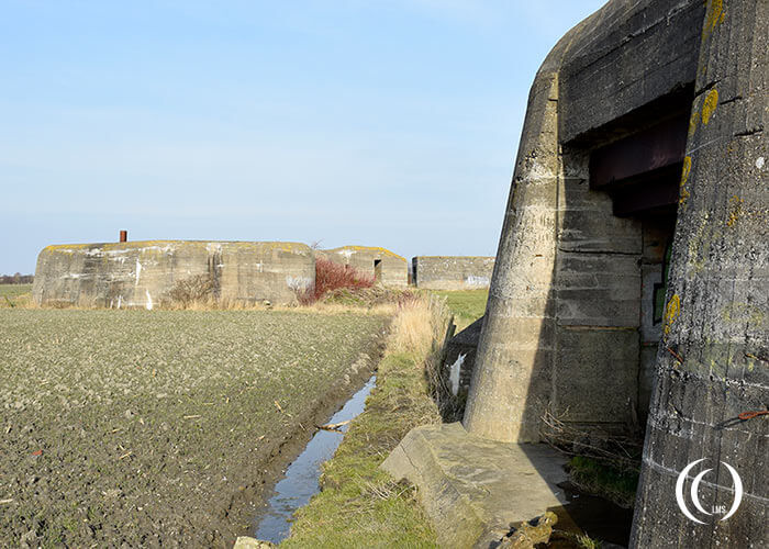
Infantry Stützpunkt Martha - Atlantic Wall Northern France
Marine Flak Batterie Nord: Stützpunkt Fichte - West-Souburg, Walcheren, Netherlands
Battery Oye Plage - Atlantic Wall in France

Stützpunkt Krimhild Landfront Vlissingen - Nieuw-Abeele, Walcheren, the Netherlands